



South Pinnacles WSA | Wyoming
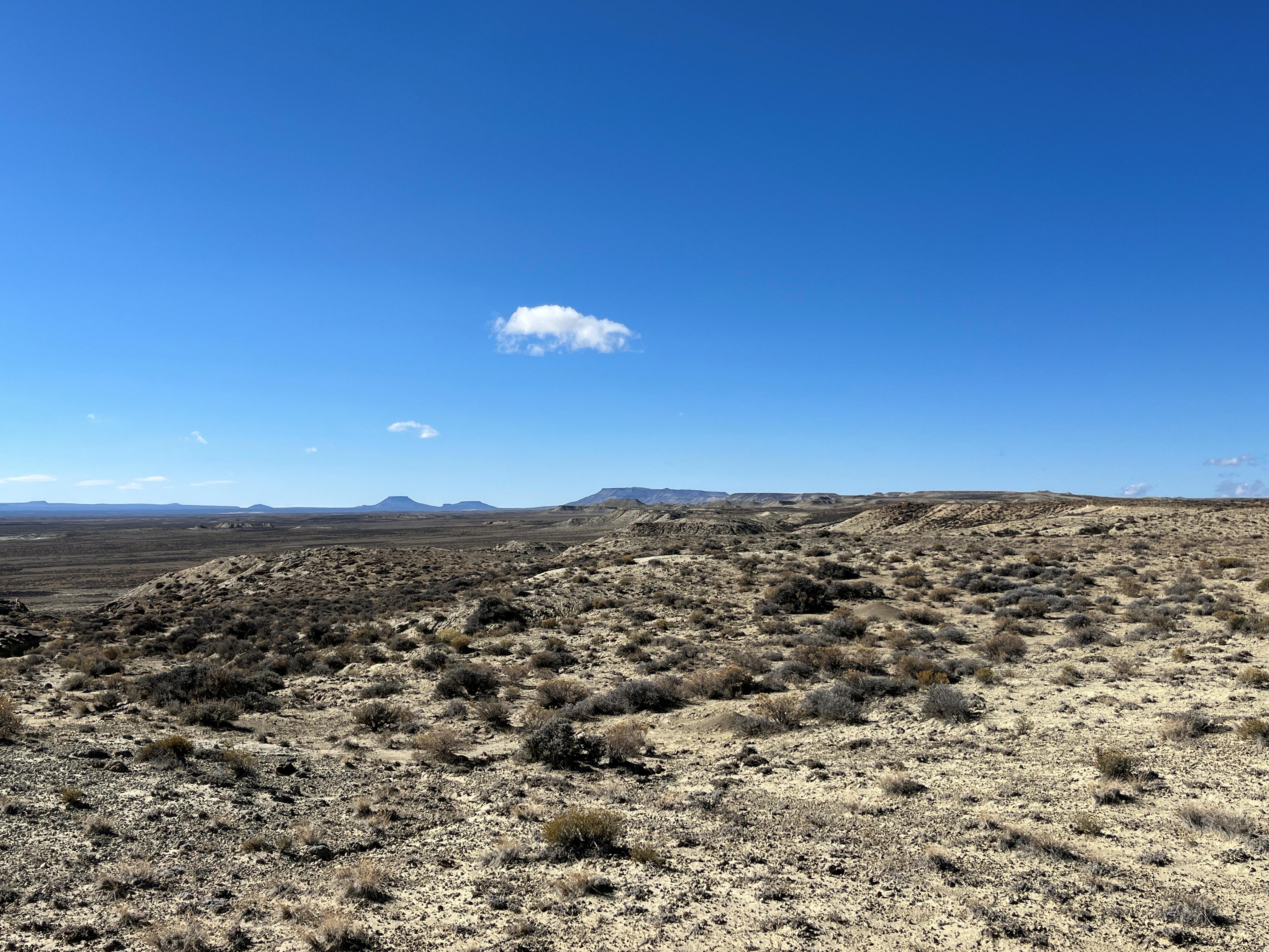
The South Pinnacles WSA encompasses 10,800 acres, including 26 acres of split estate land. The study area contains mostly flat topography, with an exposure of broken rimrock and ridges running west to east. Rough, rocky crags and unusual escarpments are prominent in this area. Greasewood communities occupy the draws while big sagebrush and Nuttall's saltbrush dominate the open areas. Primitive and unconfined recreation opportunities do exist mainly in the rimrock portion of the WSA. These include wildlife observation and photography, rock hounding, horseback riding, hiking and backpacking, and observation and photography of the many geologic eco-sites within the rimrock area. This is a fee free site. The boundary routes are ADA accessible
Photos
Accessibility Description (ABA/ADA)
Sections of the boundary road are ADA accessible.
Points of Interest
Contact Us

Activities


Addresses
Geographic Coordinates
Directions
Take Interstate 80 to Table Rock exit. North on County Road 4-19 for eighteen miles to County Road 4-15. Travel north for five miles to the south boundary road for South Pinnacles WSA.
Fees
No Fees