


Oregon Buttes | Wyoming
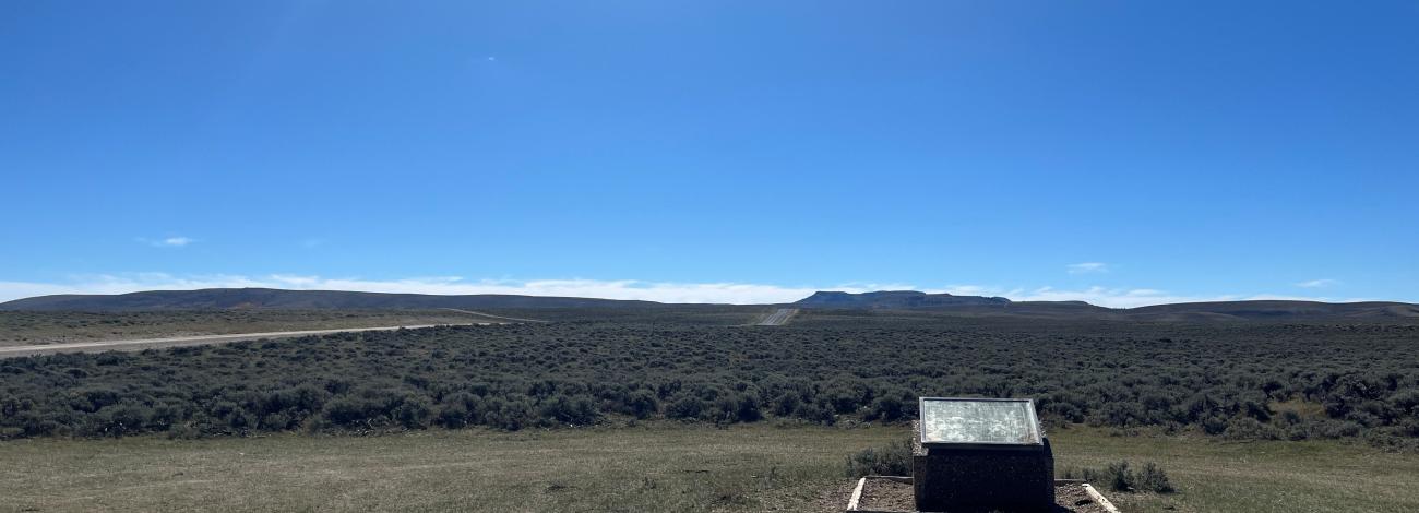
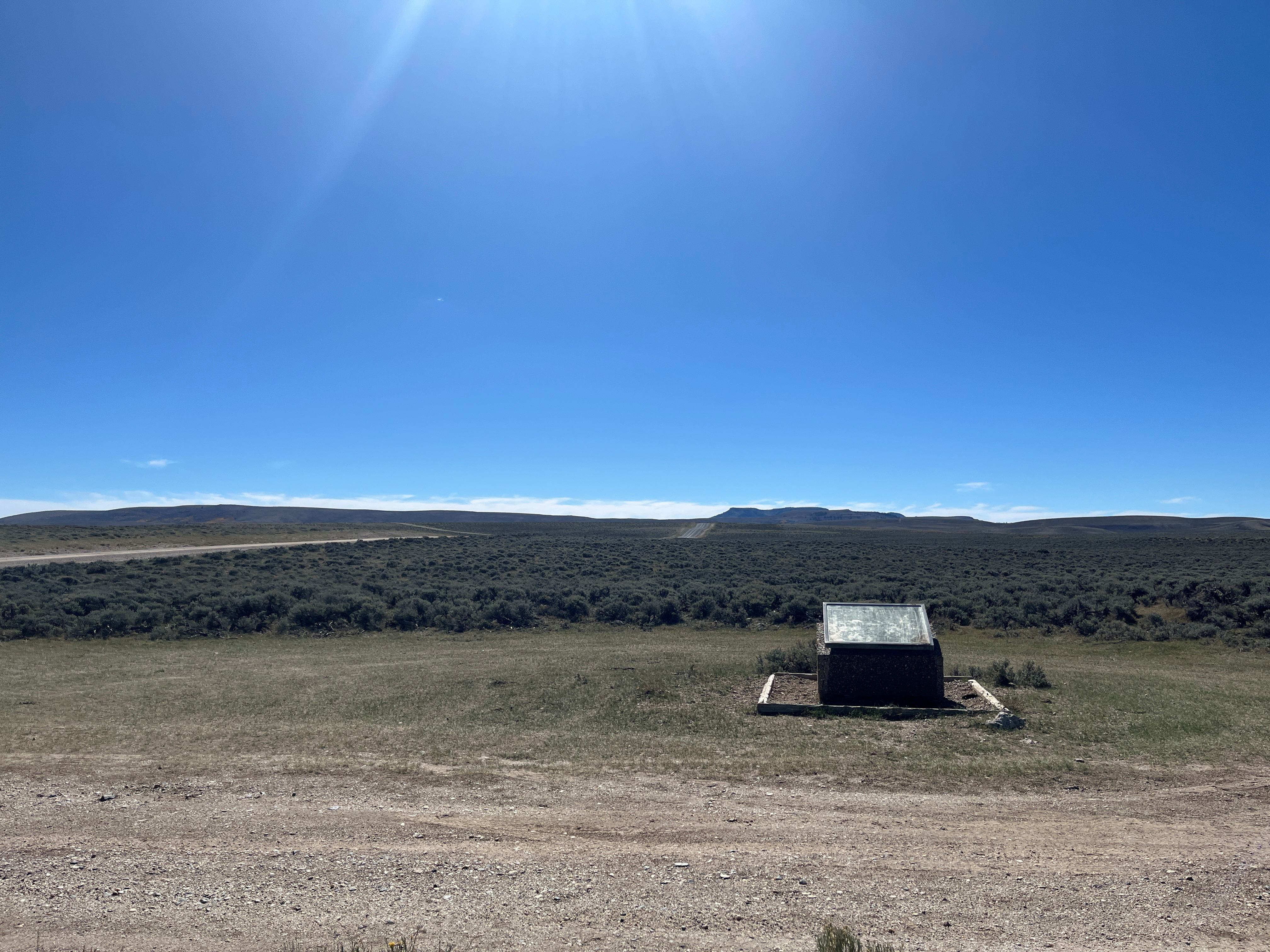
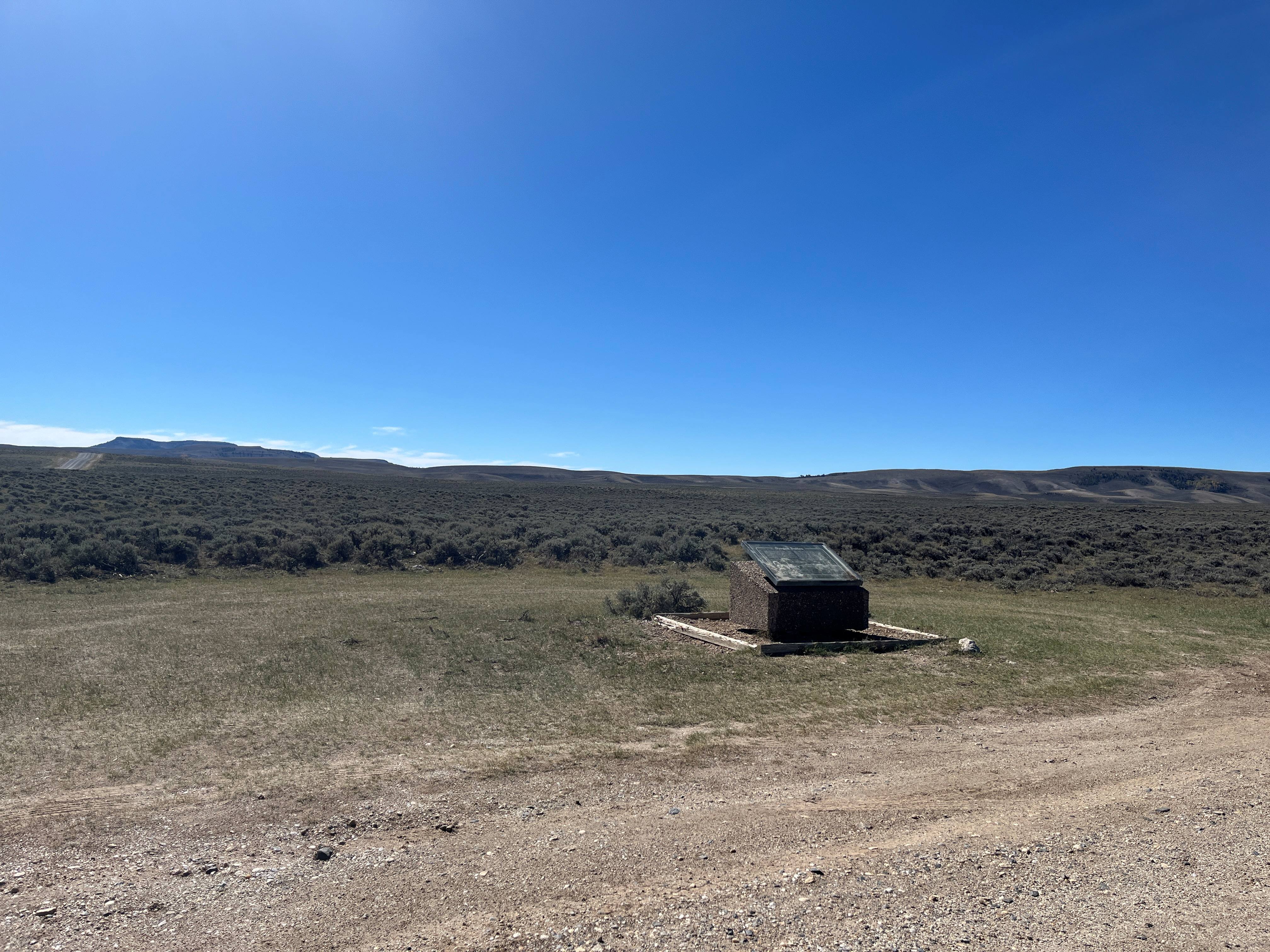
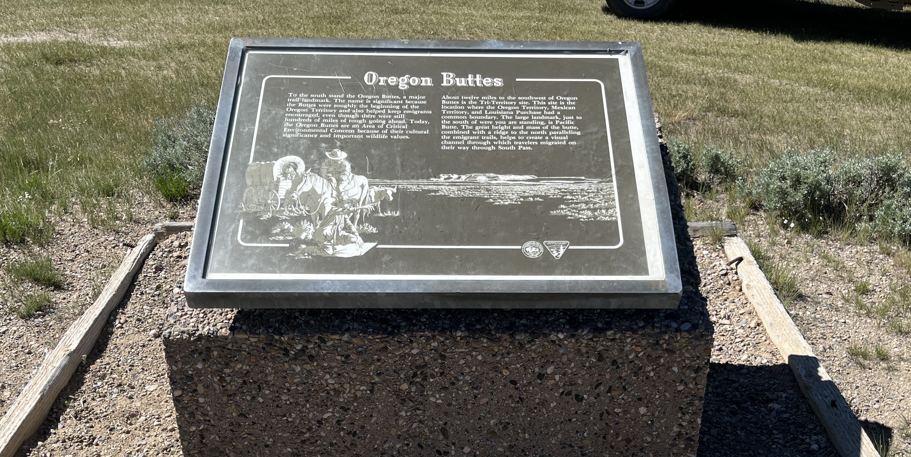
The Oregon Buttes interpretive site is located at the intersection of County Road 10-446 and the National Historic Trail. The interpretive panel discusses the importance of the Buttes as a navigation landmark during the time of the westward emigration period. This is a fee-free site. This site meets accessibility standards.
Photos
Points of Interest
Contact Us
This site is managed by Rock Springs Field Office; visit their page for office hours and directions.

Activities


Addresses
Rock Springs Field Office
280 Highway 191 North
Rock Springs
Wyoming
82901
Geographic Coordinates
42.35557, -108.85176287
Directions
Take State Highway 28 east from Farson for 38 miles. Turn southeast onto County Road 10-446. In two miles, 10-446 will intersect the trail at the site.
Fees
No Fees