


Black Hills Back Country Byway | Arizona
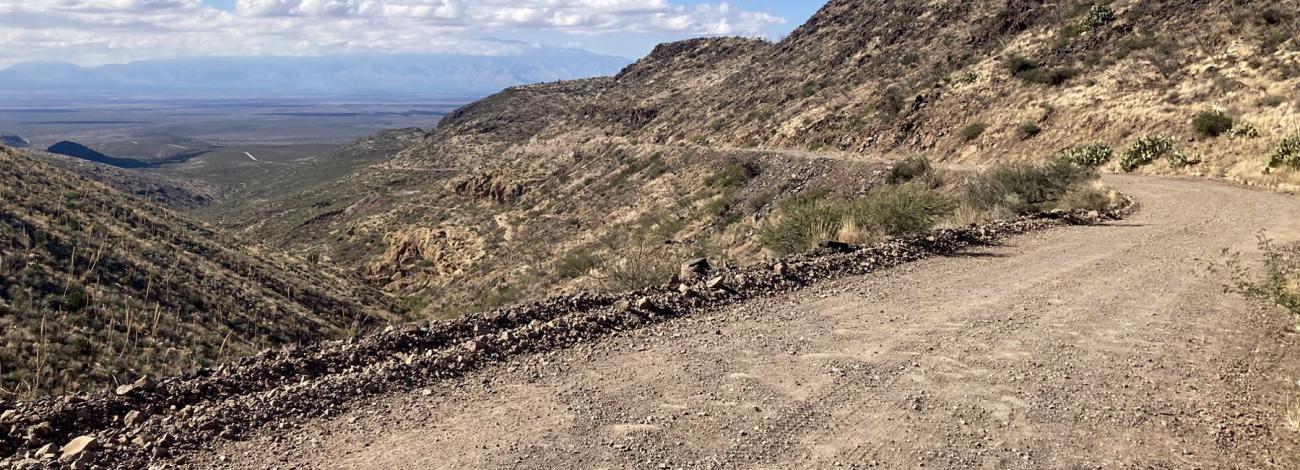
Situated between the Gila River and Guthrie Peak, this route is an expanse full of wildlife and several rest and recreational areas. Exploring the untouched off-road areas of the byway gives visitors the chance to discover remnants of mining efforts while learning about the history of the people who worked on them. Including challenging rugged terrain and scenic vistas, this mountain-side byway offers a glimpse into the routes the pioneers travelled in the old west establishing the American Frontier.
Byway Details
The Black Hills Back Country Byway is located in southern Arizona, 18 miles northeast of Safford and 4 miles south of Clifton. The 21-mile route runs through the Gila Box Riparian National Conservation Area and connects Graham and Greenlee counties, providing plenty of open areas along the byway to view the historic settlements and scenic mountains, canyons, and rugged terrain.
Attractions and Features
- Sites to discover unique gemstones (Fire Agate) from the local geology.
- Picnic areas overlooking the trails and canyon along the route.
- Camping in permitted public areas along the road including several developed sites.
- Opportunities to observe wildlife up close, including mule deer, javelina, quail, coyotes, raptors, reptiles, and cottontail rabbits.
Byway Designation
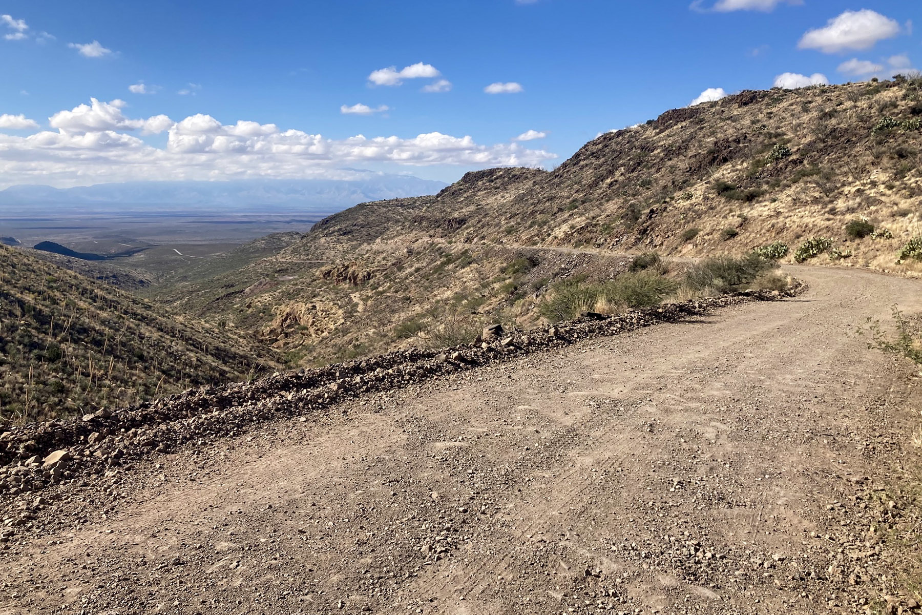
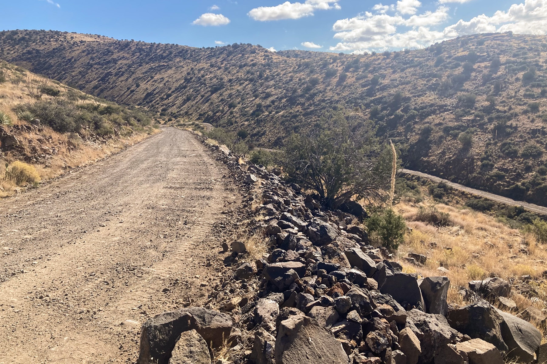
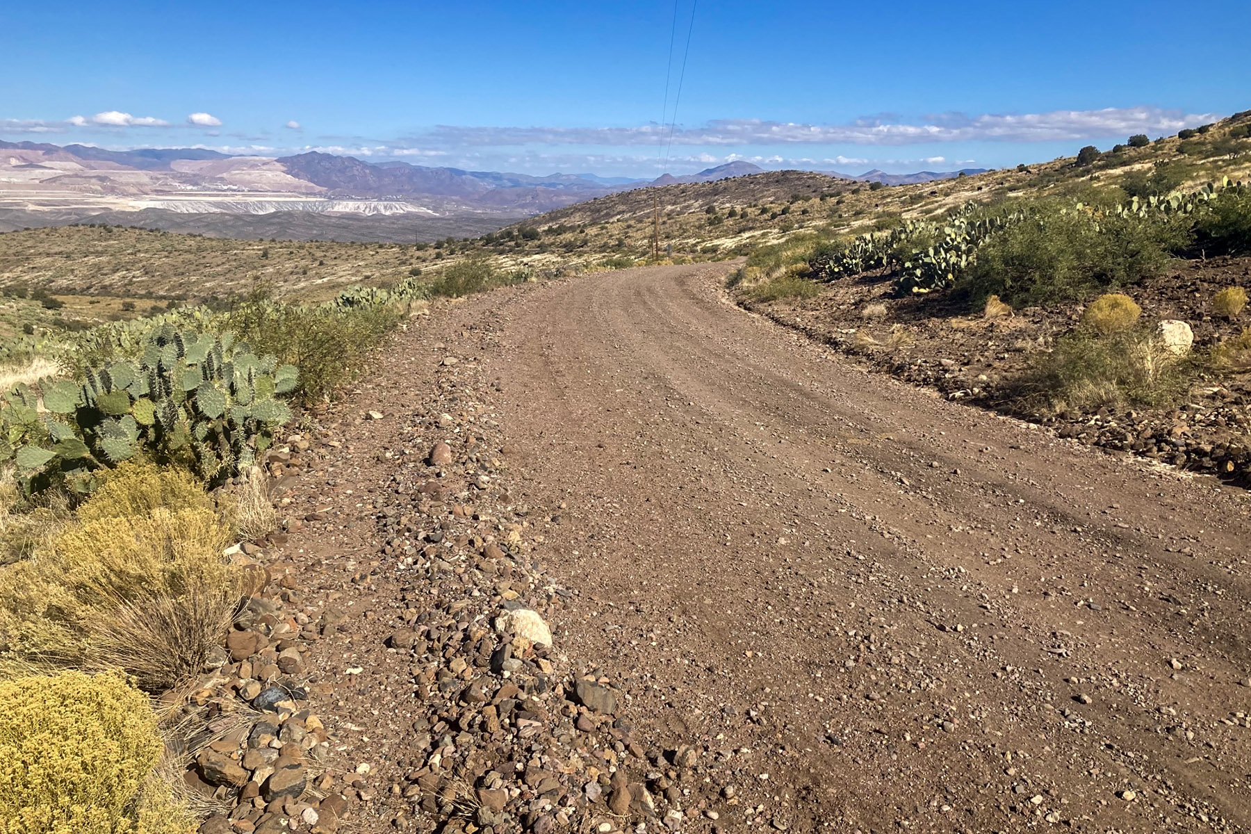
The Black Hills Back Country Byway was designated as a Type II Back Country Byway on May 28, 1992. This designation is in recognition of the scenic, recreational, historic, geological, and wildlife values found along the route. As a Type II byway, this route is designated for high-clearance vehicles that can handle mostly unpaved native soils with gravel surfacing. The byway is managed in a corridor management plan by Graham and Greenlee counties with the assistance of federal, state, and local partners.
Photos
Respect and Protect
The area is home to many species of wildlife. Please remember to practice outdoor ethics and recreate responsibly. Help us protect this unique environment by leaving no trace during your visit.
Check for fire restrictions before your visit. Using exploding targets, fireworks, sky lanterns, tracer ammunition and other incendiary devices is prohibited on BLM-managed public land in Arizona.
Accessibility Description (ABA/ADA)
Because the primary purpose of the Byway is to provide a primitive experience within an undeveloped natural setting, the majority of the sites may present challenges to accessibility. Only the following sites along the Byway have accessibility features:
North/South Entrance Kiosks: Pull through parking consists of hard-packed ground with some loose gravel or rock. A concrete pathway leads from parking area to each kiosk. The kiosk signage is not angled down but still may be viewable to visitors in wheelchairs and other mobility devices.
Canyon Overlook Picnic Area: Parking is loose gravel and although none of the spaces are designated as accessible, the entire pull out should be suitable for people with mobility devices. The single trash can at the site is located at the parking area, has a lid at a height that can be reached from a wheelchair, and can be opened by people with dexterity issues. A concrete pathway leads from the parking area to two ramadas sitting on concrete pads. Each ramada has concrete picnic tables that have fixed benches and open space at either end that are accessible for visitors with wheelchairs. Grills at each ramada are accessible, due to their elevated height and double-walled sides.
Phelps Dodge Interpretive Site: Parking is loose gravel and although none of the spaces are designated as accessible, the entire pullout should be suitable for people with mobility devices. The single trash can at the site is located on the concrete pathway and has a lid at a height that can be reached from a wheelchair and opened by people with dexterity issues. A concrete pathway leads from the parking area to the large ramada with the interpretive display. Signs in the interpretive display are at a height viewable by visitors using wheelchairs or other mobility devices.
Descriptions and photos uploaded December 2025. Please note that actual on-the-ground conditions may vary due to natural events (e.g., weather, wildfires, erosion), normal wear and tear, or site improvements.
Points of Interest
Contact Us
Activities


Addresses
Directions
The Black Hills Back Country Byway is located between Safford and Clifton in southeastern Arizona, about three hours northeast of Tucson or 3 1/2 hours east of Phoenix. Both ends of the byway are accessed from U.S. Highway 191. The southern end is at milepost 139, the northern end at milepost 160.
Vehicles over 20 feet in length, including travel trailers and motorhomes, should not attempt this byway. Convenient parking areas are available near kiosks at both ends of the byway for larger vehicles.
Drive with care and stay alert — always expect another vehicle around the next bend. And remember, mountain driving etiquette gives uphill traffic the right of way. Side routes off the main byway offer rugged exploration, but they’re single-lane, unmaintained roads that require a four-wheel-drive vehicle. These paths can be steep, rocky, and rough, with washes that may obscure the road entirely. Navigation can be tricky, so be prepared and travel smart.
Check with the Safford Field Office for up-to-date road conditions.
Fees
The Black Hills Back Country Byway is free (no fee required) for general visits by the public.
Commercial, competitive, and large organized group events require a special recreation permit. Contact the Safford Field Office for more information about special recreation permits for the Black Hills Back Country Byway.